📍 Surveying and Engineering Business Services Office
📍 Professional Survey Engineer for all surveying works
📍 High-precision execution of all surveying and staking works
📍 Certified surveying services for individuals, companies, and contractors
📍 Specialists in surveying, land demarcation, subdivision, and parceling
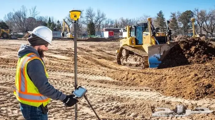
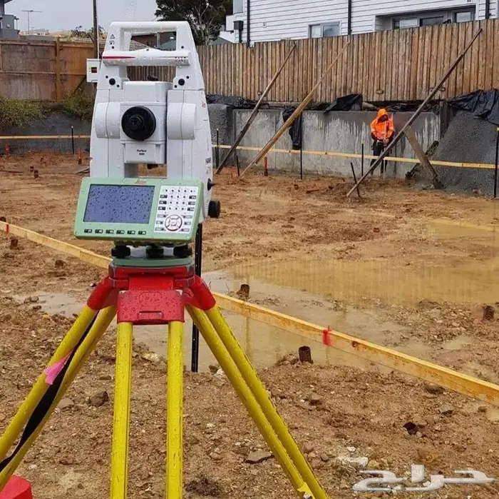
📍 GPS, Total Station, and network leveling works
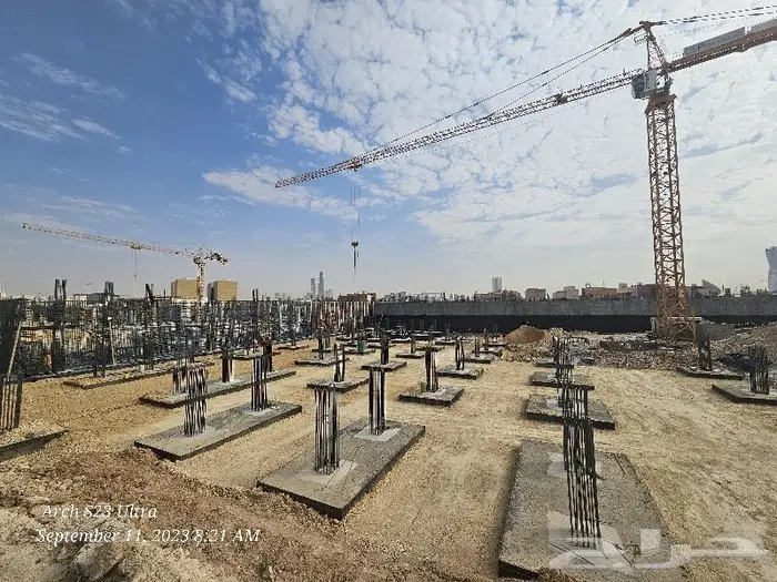
📍 Surveying of buildings, roads, and infrastructure
📍 Staking of foundations, axes, and engineering constructions
📍 Accurate extraction of coordinates, reports, and areas
📍 Preparation of AutoCAD and Civil 3D files
📍 Sketch surveying services, land plans, and areas
📍 Best surveying services with the latest devices and technologies
📍 Surveying and demarcation of agricultural, residential, and commercial lands
📍 Fast, accurate, and professional execution of surveying works
✔ Surveying
✔ Construction staking
✔ Land demarcation
✔ Subdivision and parceling
✔ Leveling and areas
✔ GPS RTK
✔ Total Station
✔ AutoCAD files
✔ Facade and road surveying
✔ Quantity and elevation calculation
📞 For direct contact: (Mobile number appears when pressing the contact button)
#مساحه
#مهندس_مساحه
#رفع_مساحي
#تحديد_الأراضي
#توقيع_مساحي
#تقسيم_وفرز
#GPS
#TotalStation
#Leica
#Sokkia
#Topcon
#Civil3D
#AutoCAD
#رفع_إحداثيات
#ميزانية_شبكية
#رفع_طرق
#رفع_مباني
#مكتب_مساحة
#الأعمال_المساحية
#مساح_معتمد