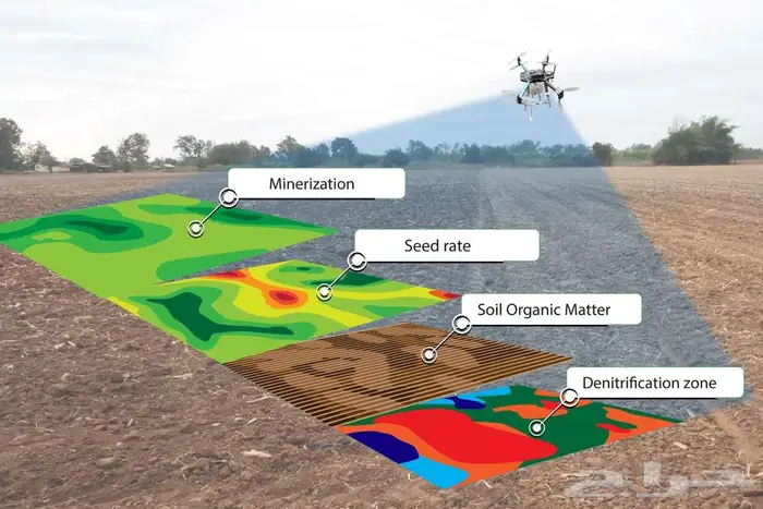
We provide aerial surveying services for agricultural areas using a multispectral drone:
Agricultural surveying and monitoring services with the Mavic 3M drone include:
Multispectral imaging (Green/Red/Red-Edge/NIR + RGB).
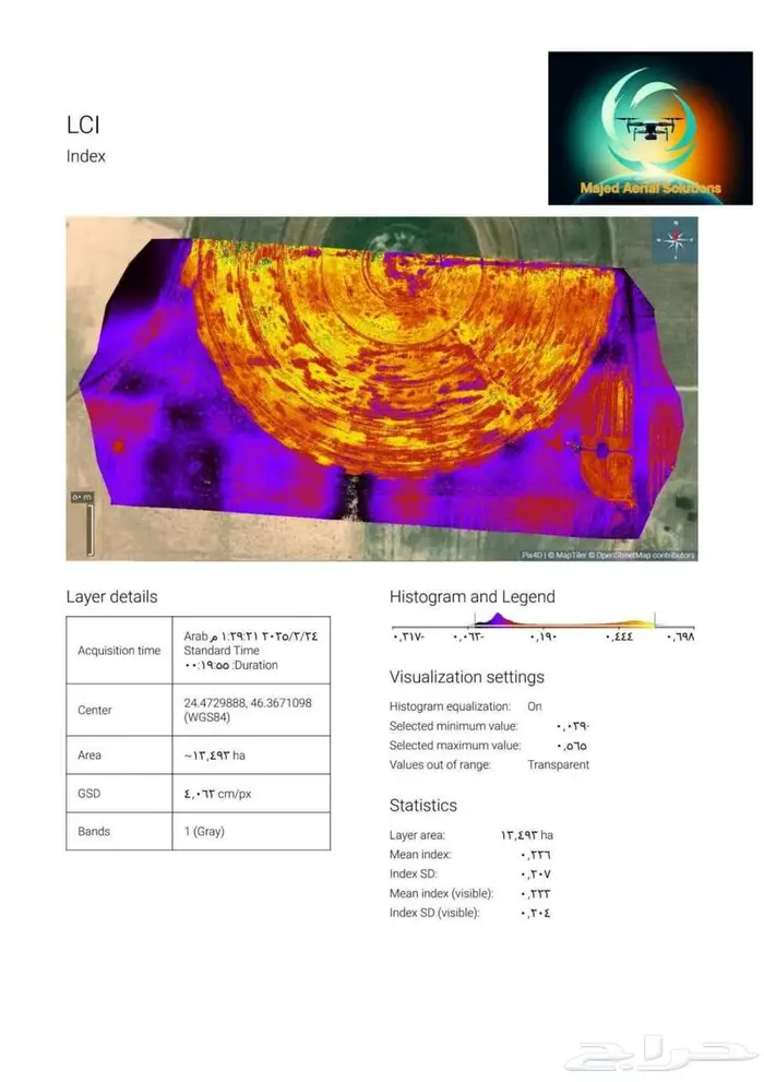
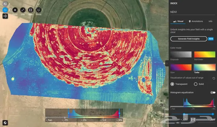
NDVI/NDRE/OSAVI maps to measure plant health and identify stress areas.
High-resolution Orthomosaic (stitched image cloud/color map).
Zones and Variable-Rate recommendations as SHP/GeoJSON/KMZ files.
These are utilized to understand:
* Plant status.
* Plant health.
* Soil type.
* Soil quality.
* The absence of epidemics or pests in agricultural areas.
* And other features
Saving time and speed in identifying weaknesses and areas that require the farmer's attention.
For more details, we are happy to receive your messages and calls.
And other agricultural surveying services
We welcome cooperation with institutions, authorities, and companies.